Have you ever wished for a reliable and rugged GPS device that can accompany you on your marine adventures without a hitch? The Garmin GPSMAP 79sc, Marine GPS Handheld might just be your perfect match. This powerful GPS is packed with amazing features, designed to meet all your navigational needs while promising durability and efficiency. Let’s unwrap the details of this promising gadget.
Design and Durability
Built to Last
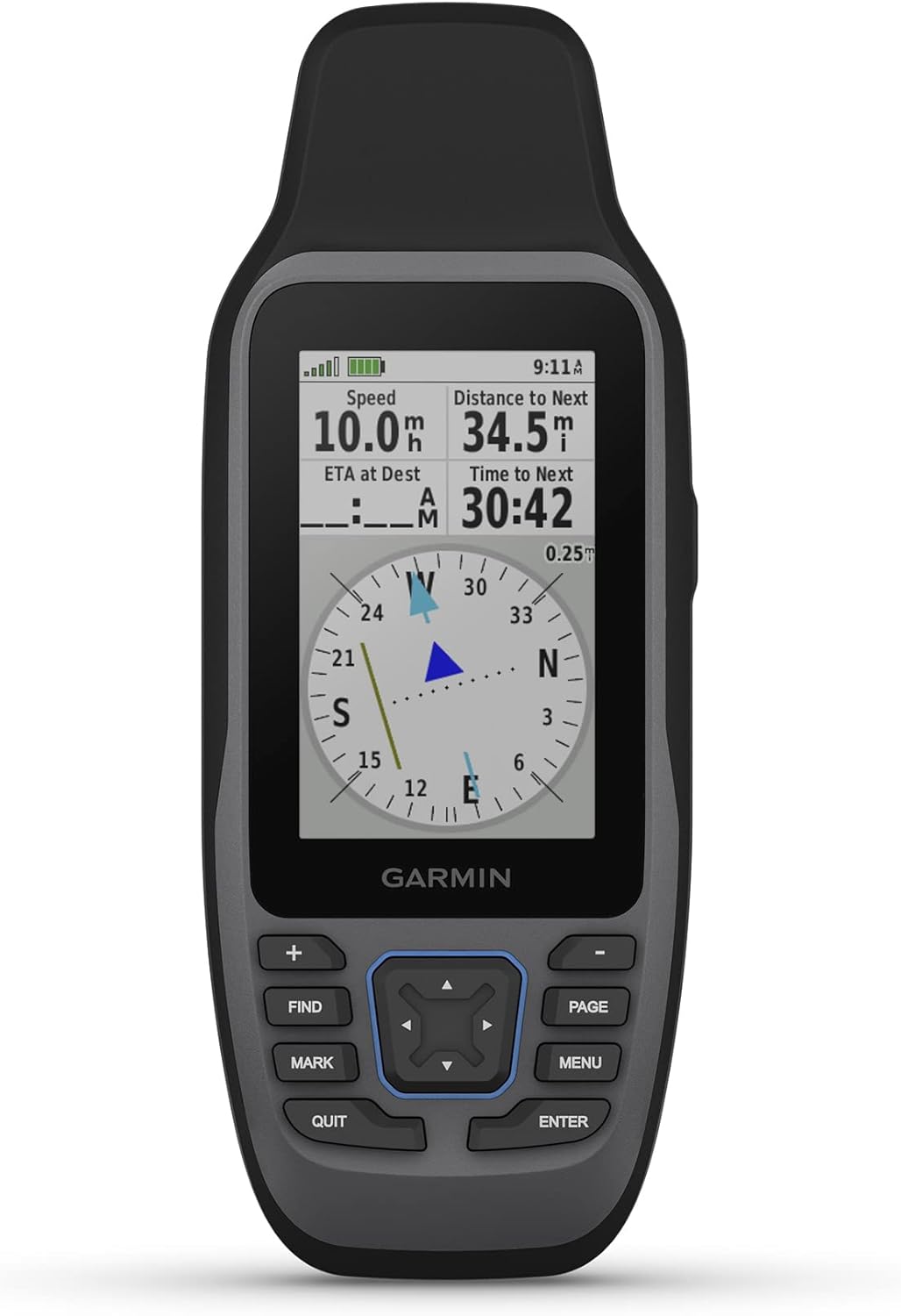
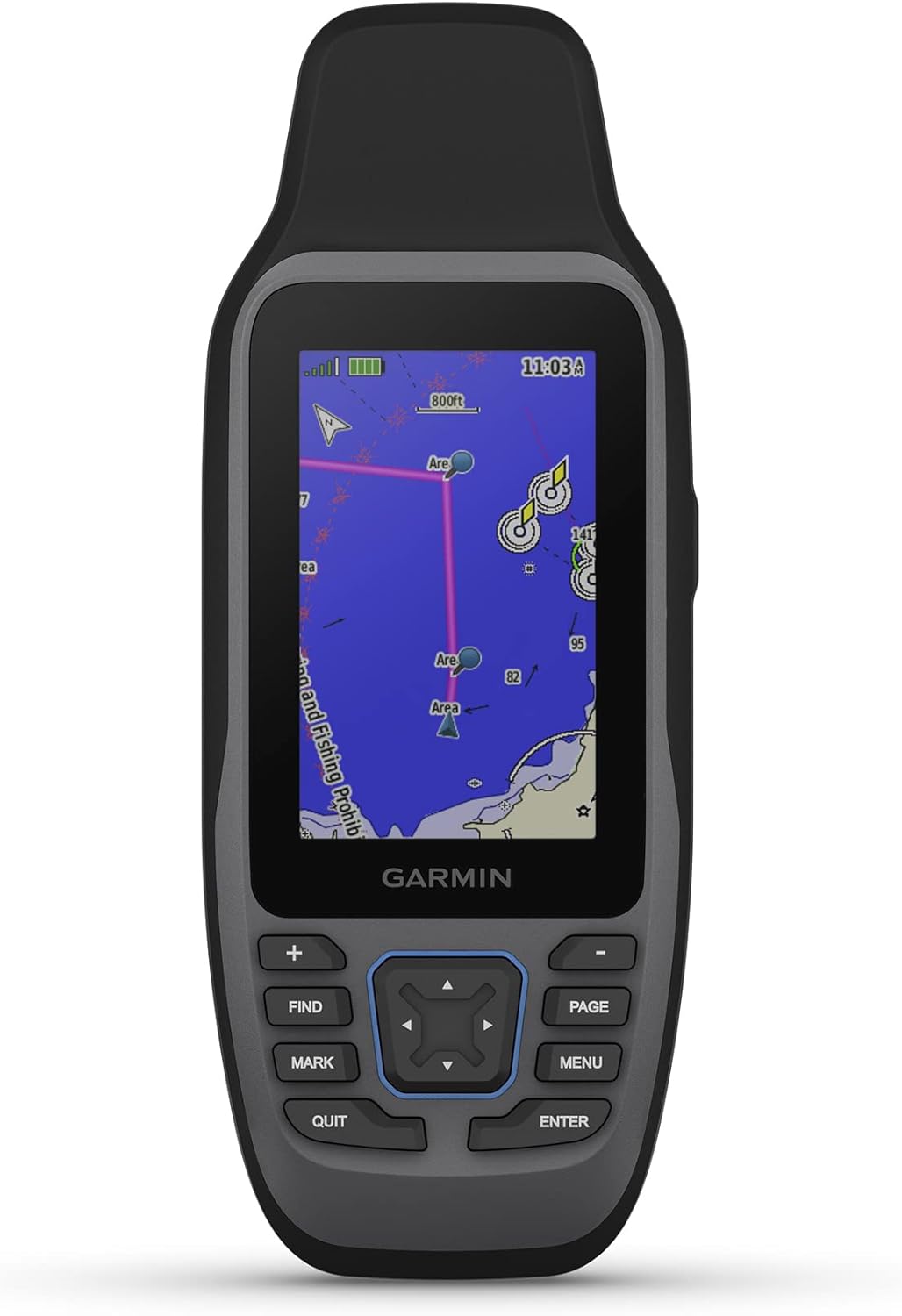
The Garmin GPSMAP 79sc isn’t just another piece of technology; it’s a robust companion crafted for rugged conditions. Its design ensures that it can withstand the rigors of marine adventures, including exposure to water and rough handling, thanks to its IPX6 water resistance. Plus, it floats! So, there’s no fear of losing it to the depths if it accidentally goes overboard. The high-resolution color display is fortified with scratch-resistant and fogproof glass, ensuring clarity and resilience in all conditions.
Portability and Convenience
Portability is key, and this handheld GPS unit scores high on that aspect. It’s compact and easy to carry, making it convenient for anyone who likes to keep their hands busy with fishing or sailing tasks without worrying about gadget safety. The durable build also assures you that it can handle a few bumps and drops along the way.
Navigational Features
Accurate Tracking
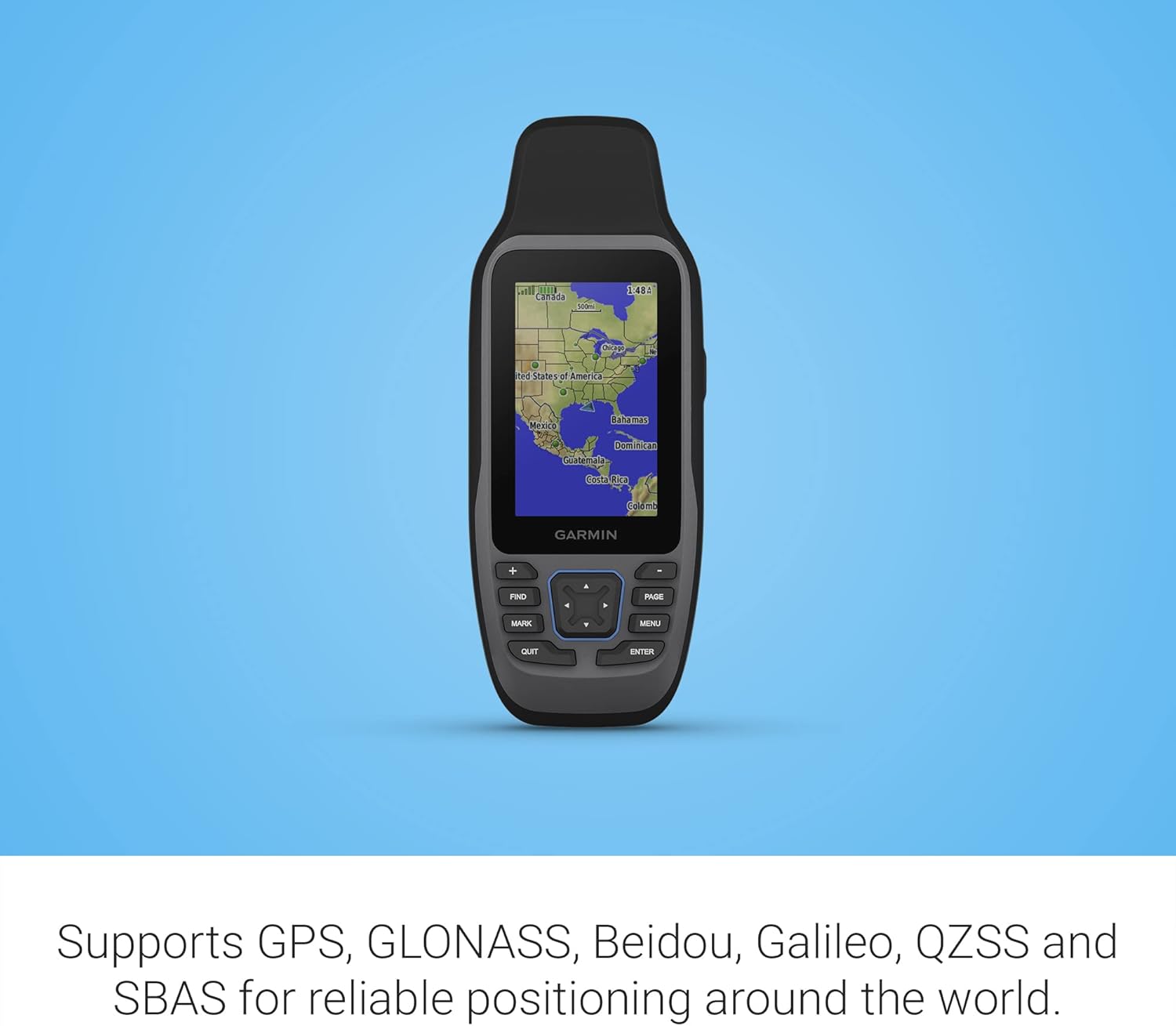
With Garmin’s focus on accuracy, the GPSMAP 79sc supports multiple satellite constellations, including GPS, GLONASS, Beidou, Galileo, QZSS, and SBAS. This array ensures precise and reliable tracking no matter where your marine journey takes you. Whether you are mapping the offshore waters or navigating a busy coastal area, you can count on this device to lead the way right.
BlueChart g3 Coastal Charts
Preloaded with BlueChart g3 Coastal Charts, this device is a navigator’s dream. These charts provide detailed coverage of coastal waters, making nautical exploration a breeze. The charts are constantly updated, providing information on tides, currents, coastal roads, and marine points of interest. It’s a fantastic tool for anyone looking to expand their sailing routes or just enjoy a day out on the water.
Functional Enhancements
Increased Memory and Storage
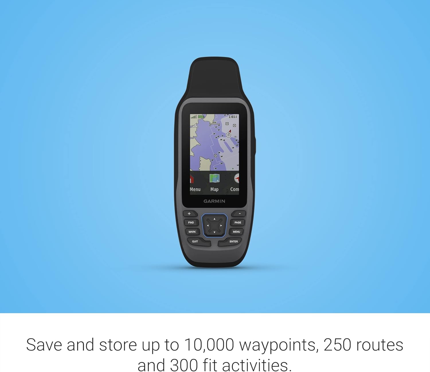
One of the strong points of the Garmin GPSMAP 79sc is its upgraded memory and storage capabilities. It can save and track up to 10,000 waypoints, 250 routes, and 300 fit activities. This extensive storage capability ensures you can log and store your adventures without worrying about running out of space.
Built-in Compass and Altimeter
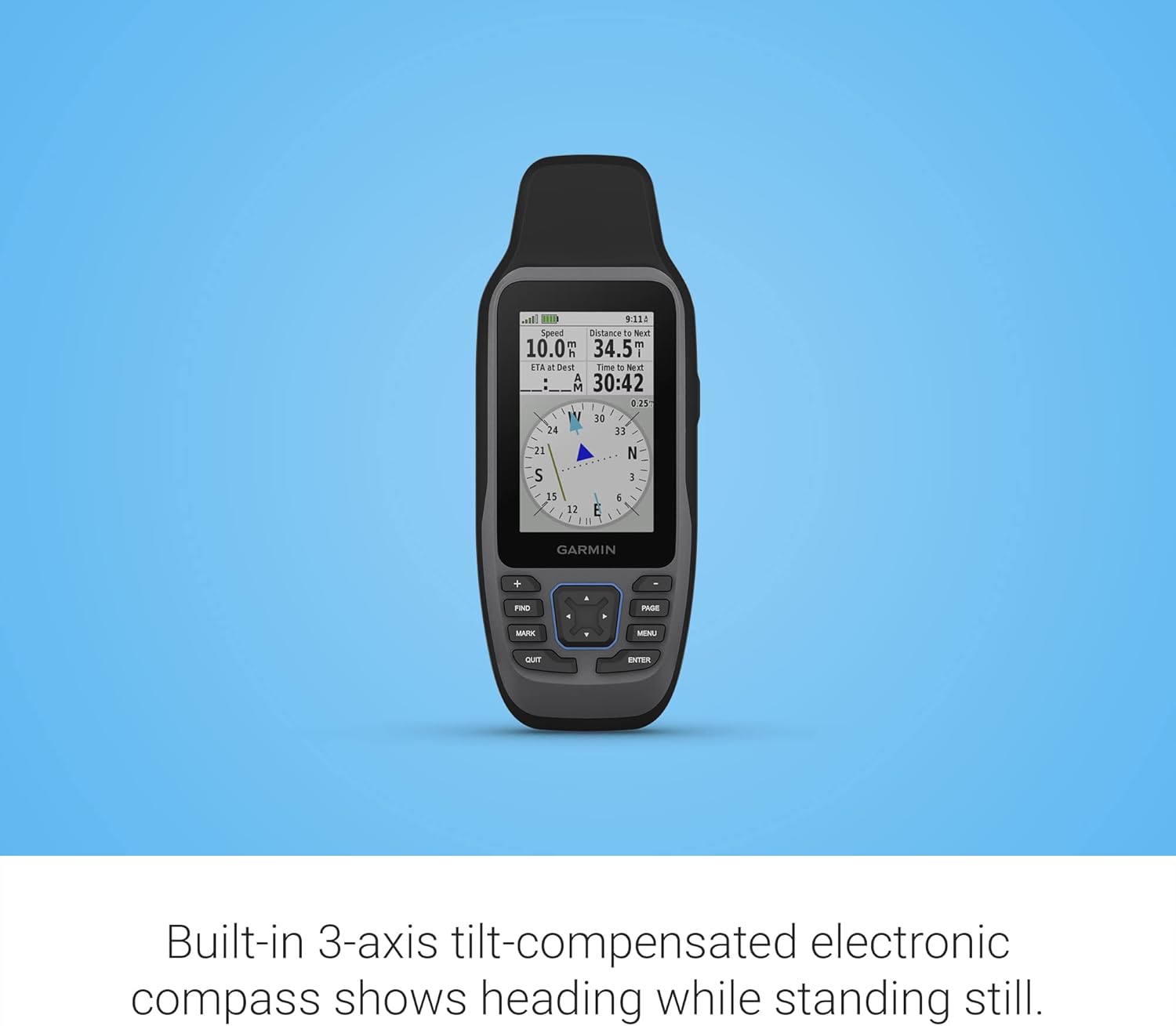
The built-in 3-axis tilt-compensated electronic compass is a game-changer, especially for those moments when you need to know your direction while standing still. The compass provides a steady and accurate heading, making it easier to set course in any weather condition. Additionally, the barometric altimeter monitors pressure changes to provide precise altitude readings, ensuring you’re always aware of your elevation above sea level.
User Experience
Easy-to-Use Interface
The user interface is straightforward and intuitive, designed for both novice and experienced mariners alike. Navigating through the different functionalities is seamless, with clearly labeled features and straightforward options. Inputting waypoints and creating routes is a hassle-free experience, bridging the gap between technology and practical application.
Battery Life and Power Management
With up to 20 hours of battery life in GPS mode, you can trust this device to keep up with your adventures, whether it’s a long weekend of sailing or a short fishing trip. The power management system is designed to extend usage time without compromising on performance, adding peace of mind especially when venturing far from shore.
Key Specifications at a Glance
Here’s a quick breakdown of some key specifications:
| Feature | Specification |
|---|---|
| Water Resistance | IPX6 |
| Satellite Constellations Supported | GPS, GLONASS, Beidou, Galileo, QZSS, SBAS |
| Preloaded Charts | BlueChart g3 Coastal Charts |
| Compass | 3-axis Tilt-compensated |
| Altimeter | Barometric |
| Waypoints Capacity | 10,000 |
| Route Capacity | 250 |
| Fit Activity Capacity | 300 |
| Battery Life | Up to 20 hours in GPS mode |
| Special Features | Floats, Accurate Tracking, Increased Memory |
Conclusion
The Garmin GPSMAP 79sc, Marine GPS Handheld is more than just a navigational tool; it’s an embodiment of advanced technology and rugged design combined to enhance your marine experiences. Whether you’re a seasoned sailor or just enjoy spending time by the coast, this device promises to be a reliable companion. With its myriad of features, easy usability, and durable design, it’s sure to be a catch for anyone looking to explore the open waters safely and efficiently.


